Mongol Empire Map in 3D: The Largest Land Empire in History
The Mongol Empire began with nomadic tribes on the steppes of Mongolia and became the largest connected land empire the world has ever seen. Under Genghis Khan and his sons and grandsons it stretched from Korea to Eastern Europe. On the 3D History Globe you can watch it spread across Asia in just a few decades.
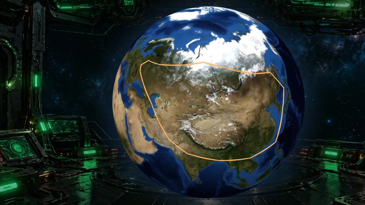 Explore in 3D
Mongol Empire quick facts
| Dates | 1206 to 1368 |
|---|---|
| Peak | About 1279, under Kublai Khan |
| Capitals | Karakorum, later Khanbaliq (Beijing) |
| Largest area | About 24 million km² |
| Famous rulers | Genghis Khan, Ögedei, Möngke, Kublai Khan |
Interesting facts
- It was the largest connected land empire in history.
- Mongol armies moved on horseback and could cover huge distances quickly.
- The Mongol peace, or Pax Mongolica, made trade along the Silk Road safer.
- Kublai Khan, Genghis Khan's grandson, founded the Yuan dynasty in China.
- After the 1260s the empire split into four separate khanates.
Mongol Empire timeline
- 1206Temüjin unites the tribes and is named Genghis Khan
- 1215Northern China falls
- 1221Central Asia is conquered
- 1241Mongol armies reach Poland and Hungary
- 1279Kublai Khan completes the conquest of China
- 1368Mongol rule in China ends
On the History Globe, press play to watch these stages appear one by one, with the borders growing across the map.
More empires in 3D
Mongol Empire questions
Who founded the Mongol Empire?
Genghis Khan, who united the Mongol tribes in 1206.
How big was the Mongol Empire?
At its height it covered about 24 million km², the largest connected land empire in history.
Did the Mongols invade Europe?
Yes. In 1241 Mongol armies defeated forces in Poland and Hungary, then turned back after the death of the Great Khan Ögedei.
Who was Kublai Khan?
Genghis Khan's grandson, who conquered China and founded the Yuan dynasty.
Why did the Mongol Empire break up?
Arguments over who should rule split it into four khanates in the 1260s, and each later fell on its own.
The 3D History Globe is made by Julian Neagu, a solo founder in London, as part of VisionVix Simulators. It is free to use in the browser on desktop and phone, with no sign-up. Map borders are approximate, for learning.